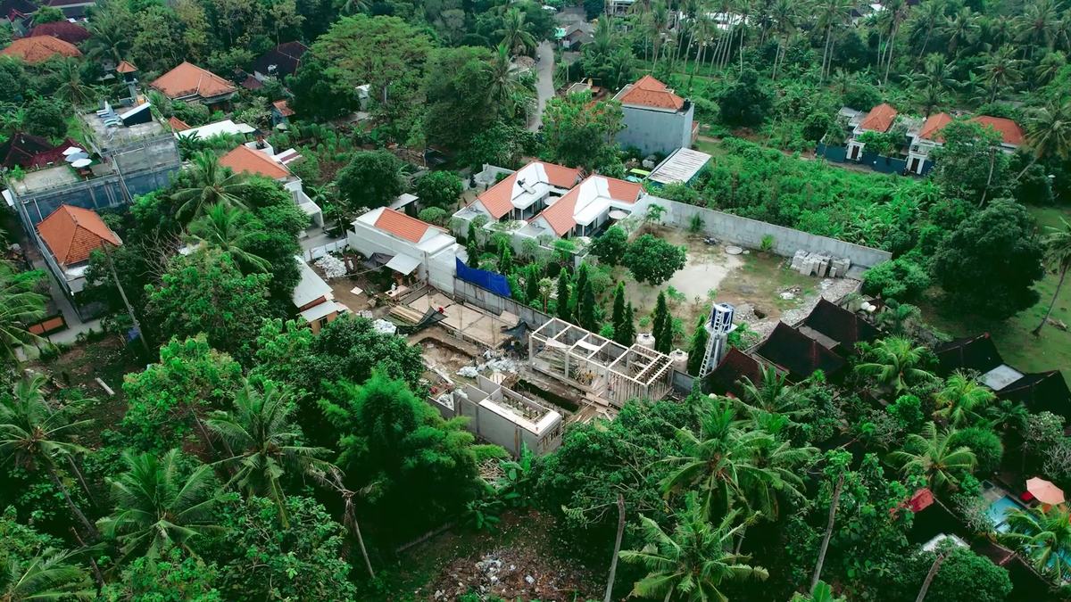
Most people assessing land in Bali from abroad first see a plot in photos, a short video and perhaps a copy of the certificate. None of these shows whether a concrete truck can reach the plot, how far the nearest power pole is, or whether the lower corner floods in February. Those questions are answered on site, by you or by someone you trust, and the answers often decide whether a plot is worth the cost of a full due diligence.
If the timing allows, visit twice: once in the dry season and once after heavy rain. The second visit tends to be the more informative one.
The boundaries
Start with the boundary markers (patok). If the owner has a copy of the certificate map, compare the shape on paper with the shape on the ground. Small discrepancies are common and usually resolved by a measured survey. What deserves attention is a neighbour’s wall or building crossing the line, markers that have clearly been moved, or an owner who is vague about where the plot ends.
Irrigation channels running through a plot are worth noting separately. They often serve fields beyond it and may not be possible to move or close, which affects the layout of anything built there.
How you get there
Follow the route from the nearest public road. Two questions matter. The first is physical: can a concrete mixer or a small truck reach the plot and turn? A narrow lane does not make a plot unbuildable, but it changes how materials arrive and what construction costs. The second is legal: is the access a public road, or a path across someone else’s land? A path that everyone uses today is not necessarily a documented right of access, and that distinction belongs in the questions for the notary.
Unpaved tracks should be judged in the wet season, not in August.
Water and power
Look for a municipal water line (PDAM) along the road and ask whether neighbours are connected. If they rely on wells, ask how deep and how reliable they are in the dry months. Near the coast, ask about salinity.
For power, note the distance from the nearest pole to the plot and whether there are high-voltage lines overhead or along the boundary, since these limit what can be built beneath them. A villa with air conditioning and pool pumps draws more power than a typical house, so the capacity of the local supply matters as much as the distance.
Neither question has to be answered precisely at this stage. A rough idea is enough to know whether utilities will be a minor cost line or a significant one.
Water on the ground
Drainage is the issue most easily missed in the dry season. Look for standing water, damp patches, silt lines on nearby walls, and the direction rainwater would take: onto the plot from the road, or from the plot onto a neighbour. Steep slopes may need retaining walls; former rice fields and filled ground usually need a soil investigation before any structural design.
What surrounds the plot
Temples nearby come with local customary rules that can affect what is built and how. Workshops, livestock, a busy road or a venue may not show in photos. Construction on adjacent land can change both the view and the access. It is also useful to know who represents the banjar, the local community, and whether there are local contributions or rules for new residents and businesses.
After the visit
The visit is useful only if it turns into specific questions. Typically these go to three people: the owner (documents, history of the land, access arrangements), the notary (title, ownership, legal access), and later the permit consultant (zoning and permitted use). The legal side is covered in Land due diligence in Bali and How to check zoning before paying a deposit.
Photographs of each boundary and of the access route are worth keeping. They make it easier to compare what you saw with the survey and the certificate later.
If you cannot be there in person
When the visit is made by someone else, the quality of what you receive depends on what you ask for. A useful brief asks for a continuous video walking the full boundary rather than a few still photos, a recording of the route from the nearest public road at normal speed, photographs of the nearest power pole and water connection with an indication of distance, and, if possible, a second visit after heavy rain. Ask for the date to be recorded with each set of images. It is also worth asking the person to note what they could not see or check, since gaps are as informative as findings.
If you have visited a plot and want to talk through what you found, contact us to discuss your project.
General information. A site visit does not replace legal and technical due diligence by licensed professionals.